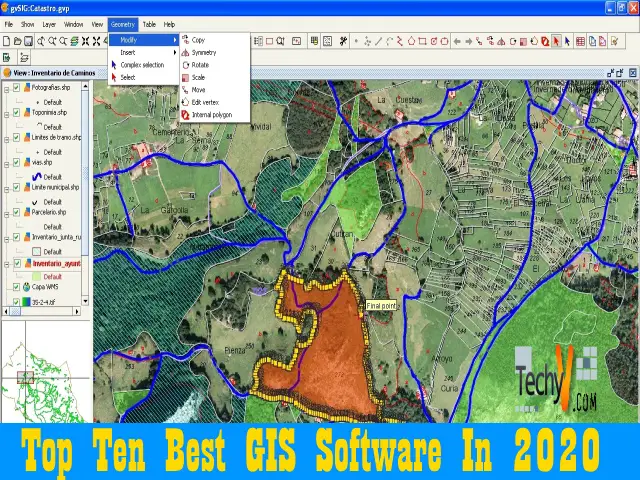
A Geographic Information System (GIS) is the technology that allows the uses to analyze any geographical area for studies and various purposes. The geographic information system is useful for users worldwide to question, visualize, and interpret the geographical data to understand the trend and patterns in the geographic area. Further, with the help of the geographic information system, the users can get the detailed information regarding any geographical area. With advancements in technology, we have seen a rise in the software available as a geographic information system. So, here is our list for the top ten best geographic information system software for users worldwide.
1. QGIS
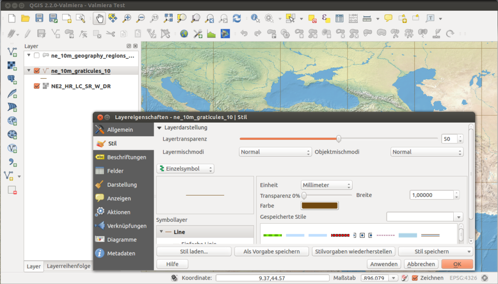
QGIS is the first and most recommended software from our experts for the geographical information system purposes. The software QGIS has a comprehensive software interface for the users for cartography purposes. The software has a wide range of tools available for the users for cartography and avails the users with a library of functions. Further, the software is available for free to the users.
2. GOOGLE EARTH PRO
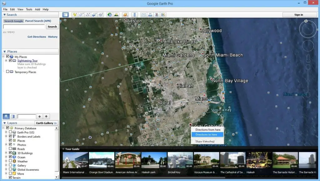
Google Earth Pro is the next software in our list of the top ten best geographical information system software for users around the world. The software Google Earth Pro is a comprehensive geographical information system that is a product from Google and has catered to the need of users for years. This software has a wide range of features for the users that help understand the geographical data in various forms.
3. ESRI ARC GIS
The next software solution in our list of the top ten best geographical information system for users worldwide is ERIS Arc GIS.ERIS Arc GIS is a comprehensive geographical information system software for the users that allows users to manage the maps and their development. Further, the software avails users for geocoding and customizable user portals.
4. GOOGLE MAPS API

Google Maps API is another software that we recommend you for maintaining and understanding geographical information. The software Google Maps API is a comprehensive geographical information system software for the users for understanding and analyzing the information related to cartography. Further, as the software is a product from a famous corporation Google, the software has won the trust of consumers.
5. SURFER
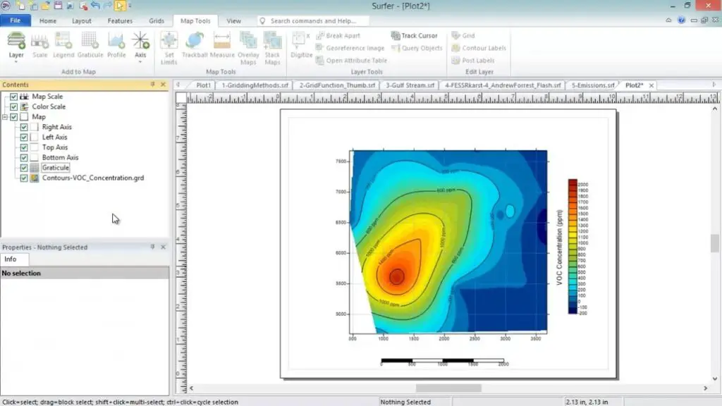
Surfer is another software available for users for geographical information system purposes. The software is available for users for modeling and three-dimensional mapping. The software allows the users to understand the information related to maps and the geographical area surrounding a particular place. Further, the software is suitable for geophysicists, geologists, archeologists, hydrologists, oceanographers, biologists, etc.
6. SAGA GIS
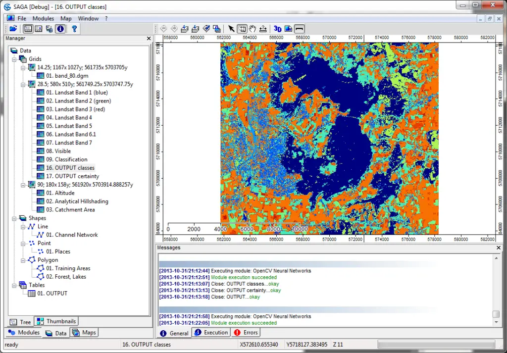
Saga GIS is another of the most affordable geographical information system program for users worldwide. The software Saga GIS is a comprehensive software solution available for the users for analyzing the geographical information relevant to the geologists. The software allows the users to manage the data and sort the data through the help of the interface.
7. MAPTITUDE
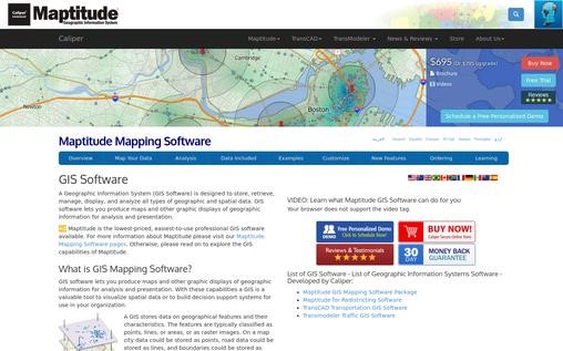
Maptitude is another software available as a geographical information system software for analyzing a geographical area or geographical information. The software has extensive features for layer controls, colors, and fonts for the layers. Further, the software allows the users to pin the geocodes without any complications. This software also has a comprehensive interface for the users for geographical analysis.
8. ARC GIS PRO
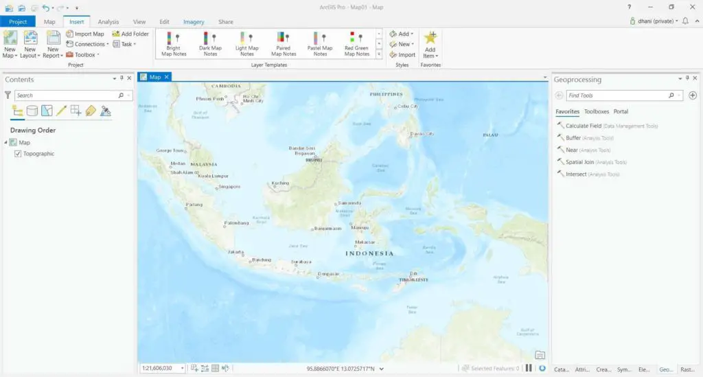
Arc GIS Pro is the next software solution in our list of the top ten best geographical information system software for users. The software has a wide range of features for the development of maps. The software allows users to geocode information related to the geographical area. Further, this software has a comprehensive and user-friendly interface for users to manage data.
9. GRASS GIS
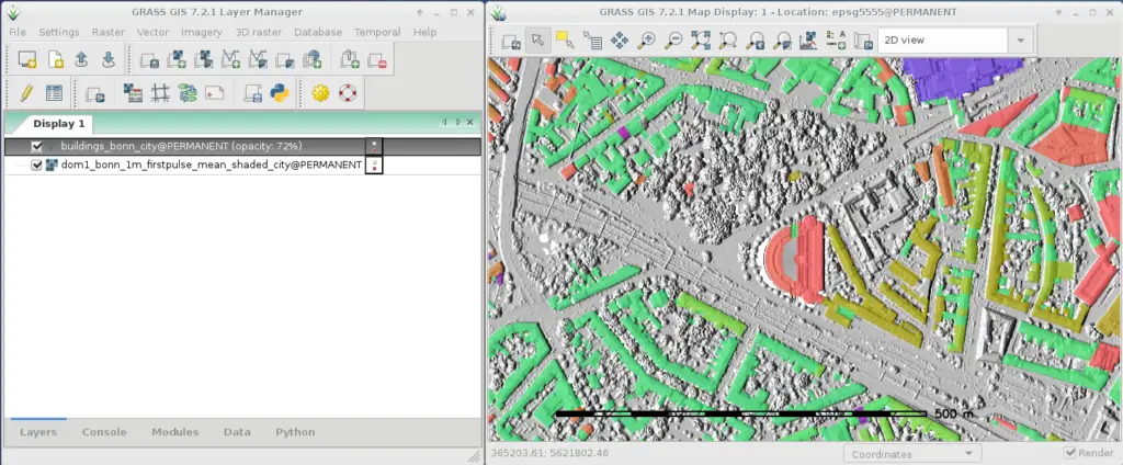
Grass GIS is one of the most famous geographic resource analysis support system for users worldwide. This software Grass GIS is another software available for the users for planning land and the environment. Besides, the software has a wide range of features for the users for managing geographical areas and information. Further, the software has a user-friendly and easy to use software features.
10. CADCORP’S MAPPING GIS SOLUTION

Cadcorp’s Mapping GIS Solution software is the next and last software in our list of the top ten geographical information system software available for users worldwide. The software has a wide range of features available for the users for creating and configuring maps. The software has extensive features for addressing the data and metadata related to the geographical information


