One of the most valuable features of smartphones is the navigation app, and Google Maps is generally regarded as the best of the best – at least among the free options. However, Google Maps likely has some hidden features that you are unaware of. They might ease planning your upcoming trip or even your daily commute.
1. Inside Access
Not simply for the outdoors, maps are helpful. By finding the location in Maps, clicking on it, and then scrolling to Directory, you may learn what’s inside malls, airports, and other massive buildings. You will never again look about in vain trying to find a Cinnabon.
2. Plot Multiple Locations On Google Maps
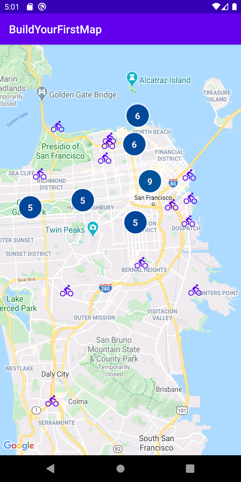
In a car, getting from point A to point B is rare. They usually use a cafe, library, Joe’s residence, or another location to get from point A to point B. It is helpful that Google makes it feasible to plan actual travel. In the Google Maps mobile app, enter your beginning place and destination. Then, click the three dots in the top right corner to add more objectives. It will create a pop-over menu with the “Add stop” option. You can add a route with several stops by clicking that. Even within your schedule, you will have the flexibility to drag and drop stops.
3. Customize Your Vehicle Icon
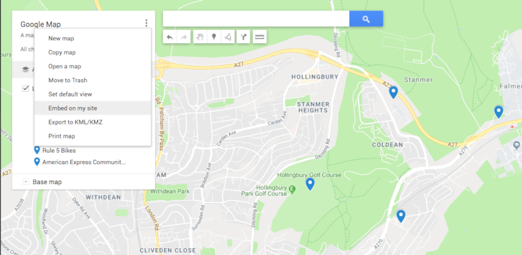
If you are driving, Google’s iOS and Android apps let you select the vehicle that appears on your navigation. Enter your destination into the app to launch driving instructions. A pop-up menu with multiple car symbol choices, such as a sedan, a pickup truck, or an SUV, will appear when you tap the icon representing your current location.
4. Access Google Maps Offline
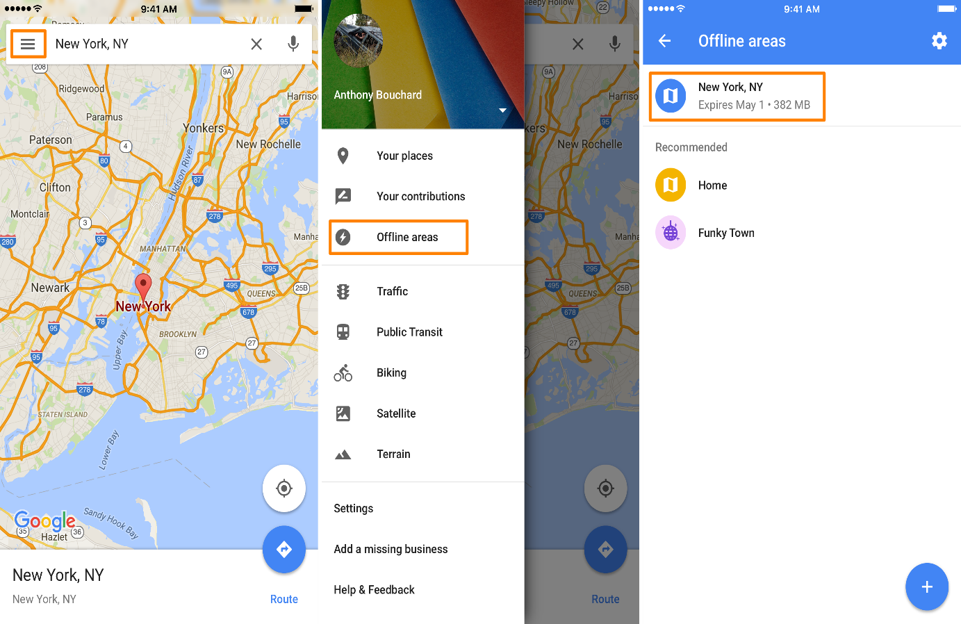
Since Maps is most helpful on smartphones, there is a problem: You can be in an area with poor (or, gasp! non-existent) reception when you need it the most. Google Maps offers offline access to make your life easier. After entering an address or location, pick Download offline map from the menu that appears when you swipe up from the bottom of the screen. The concerned map will be saved if you have enough space on your device to do so.
5. Change Directions Around By Drag And Drop
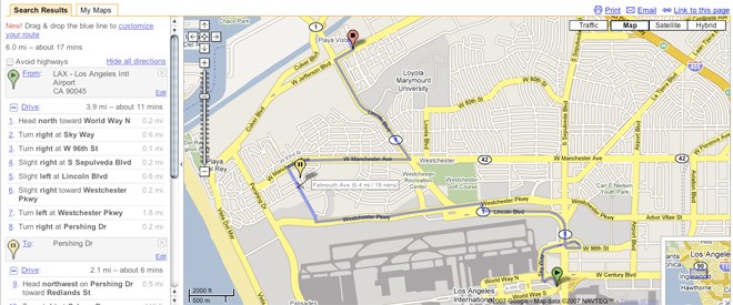
On the desktop version of Maps, you may drag and drop your path to go through or away from sites when looking up directions. To move about, click and drag any part of your route (this only applies to walking, driving, or cycling directions; mass transit options are not supported).
6. Find Directions With A Single Click
You can type your desired location’s address to go there. You may also use the pull-down menu when you right-click on the spot you want to go to on the map to discover instructions there or back.
7. Add Your Own Street View Images
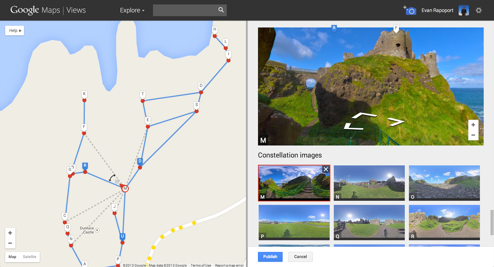
Although Android users can now upload their photos to the street-level mapping feature, Google does not hire out its Street View automobiles. To get started, all you need is the most recent version of the Street View app for Android (Opens in a new window) and a phone that supports ARCore (Opens in a new window). Once the photos have been taken, they may be shared via the app. Google’s servers will automatically do the necessary rotation and positioning to produce a collection of connected photos. Then, for the place you captured, they will be viewable to everyone on Street View.
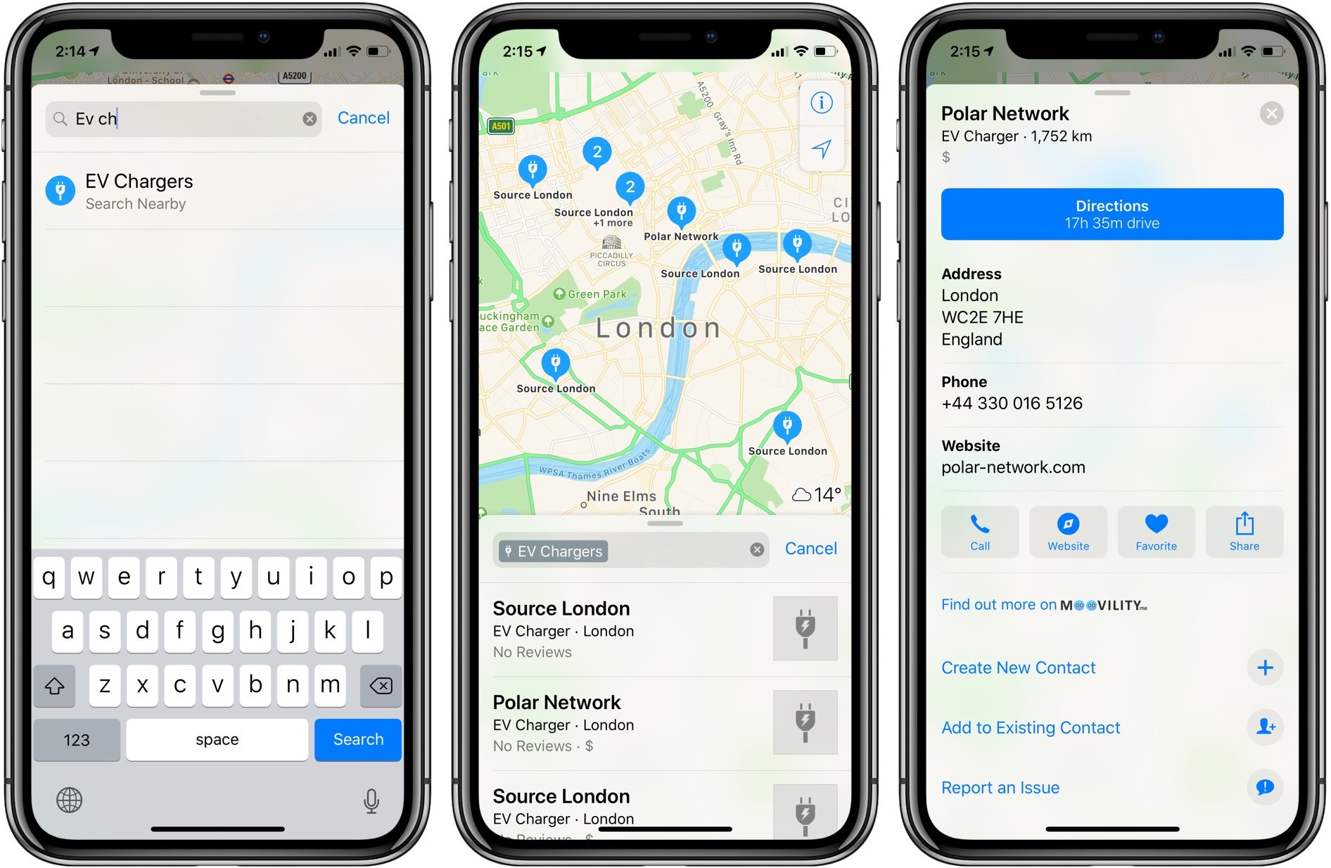
8. Find Electric Vehicle Charging Stations
Google Maps is changing to the changing features of the vehicles on the road. To locate the closest sites to charge your electric car, you can now use Google Maps to search for “EV charging” or “EV charging stations” (Opens in a new window).
9. Find Safe Drug Disposal Locations
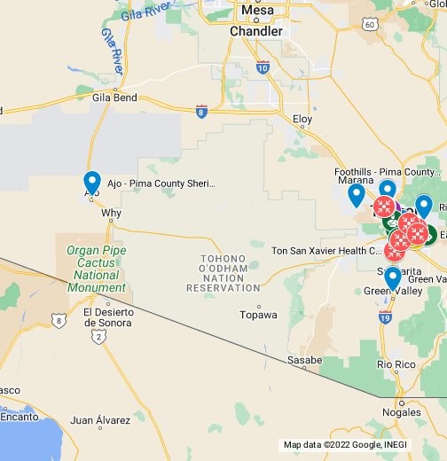
With a search feature (Opens in a new window) to assist users in finding secure drug disposal facilities, Google Maps is doing its part to combat the opioid crisis. You can find pharmacies, medical facilities, and local authority locations where you can securely dispose of extra pills by typing “drug disposal near me” into the search field.
10. Street View Into Mars On Earth
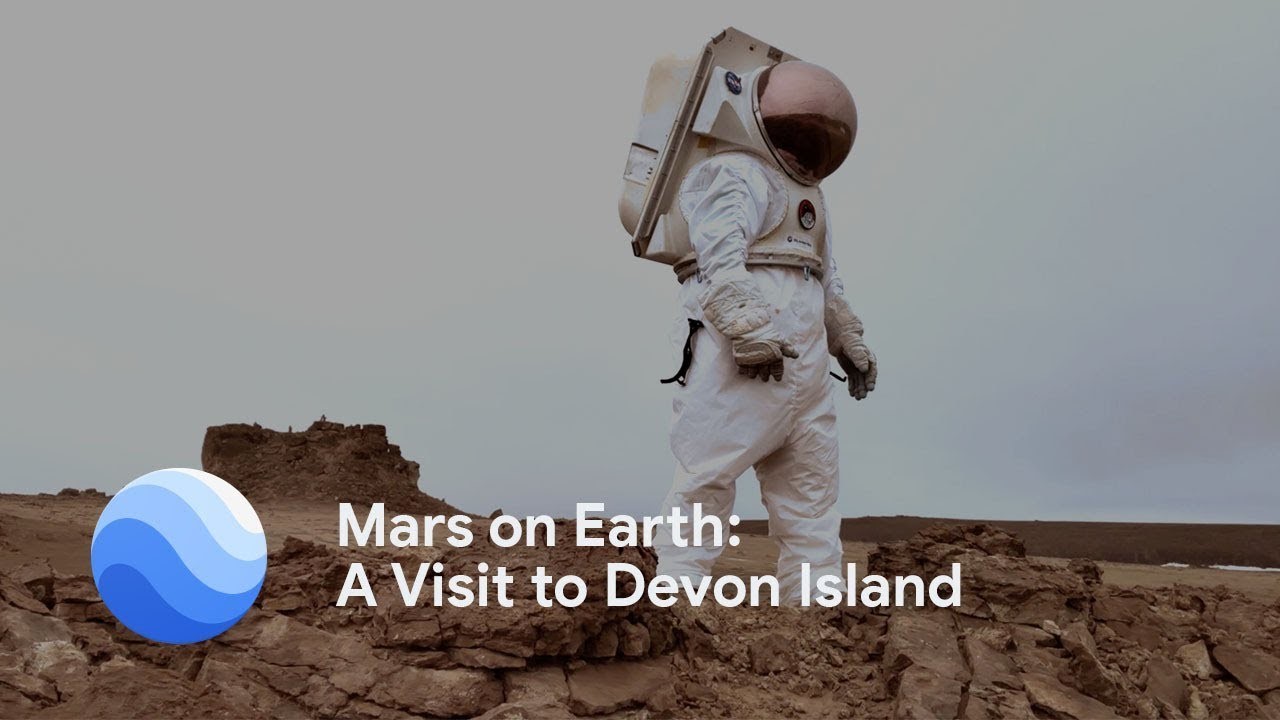
To give people up-close views of breathtaking locations and landscapes worldwide, Google is enhancing Street View to be more immersive. One such location is the deserted Devon Island, the closest terrain on Earth to Mars and in northern Canada near the North Pole. When you view it in the Street View panorama, it hits home (Opens in a new window).
