With expansion of GPS usage and robotic total stations, significant advances are made, although surveying remained mainly limited to the recording of discrete locations. High-resolution satellites with a sub-meter resolution, aerial light detection, and ranging (LiDAR) units and, most recently, uncrewed aerial aircraft equipped with digital cameras have all become standard topographic mapping technology.
1. Satellites And Drones
Deploying drones for terrain mapping and aerial surveying is becoming increasingly standard in architectural and engineering disciplines. Whether it is a small chunk of land or a wide area, drones make terrain mapping extremely simple and produce result within a short period. This device also capture every corner that is difficult to reach physically. With information related to GPS coordinates and high-resolution images, you can entirely rely on results retrieved from drones and use them commercially. Conducting drone survey is one of the easiest and most cost-effective method to map terrain. It takes less time compared to other technological applications.

2. LiDAR
Aircraft-mounted 3D LiDAR units collect topographic data via rapid firing of an infrared laser pulse, with modern units collecting one million 3D points per second. Depending on the surface material, vertical accuracies from ± 10 to ± 20 centimeters, with horizontal accuracies being slightly less. In areas with forest cover, most pulses hit leaves, but many pass-through gaps in the vegetation to strike the ground.

3. GIS And MAPPING SOFTWARE
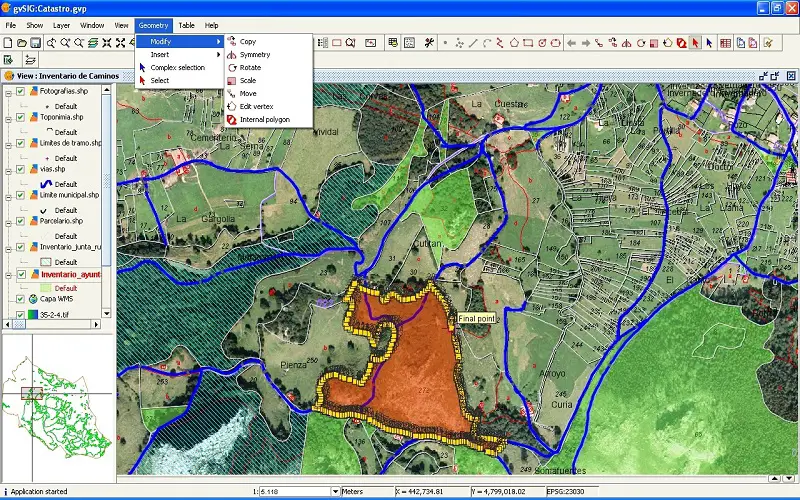
GIS technology is used to store, analyse, and alter geographical data. GIS mapping software is gaining popularity in the A/E/C sector because it improves data visualization and analysis, making it simple for designers and engineers to plan projects properly.
4. Mobile Mapping System
Mobile Mapping System is a cutting-edge survey technology with GPS, GNSS, LiDAR, and positioning devices. Surveyors can quickly and efficiently deploy the technologies and capture exact information on distant and inaccessible environments. This data is drawn in 2D on a map to establish the borders. Based on the survey data, contour lines generated on a map.

5. Total Station
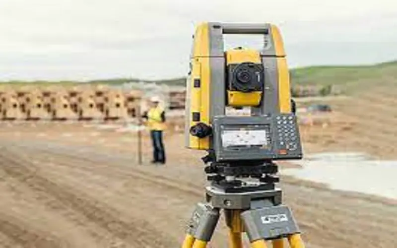
Computerized equipment enables surveyors to chart the heights and distances of various objects in a landmass, artificial or natural.
6. GPS
GPS can correctly map latitudinal, longitudinal, height, and distance information between places. Using GPS saves time and money because it requires fewer people than conventional surveying methods.

7. 3D Scanners
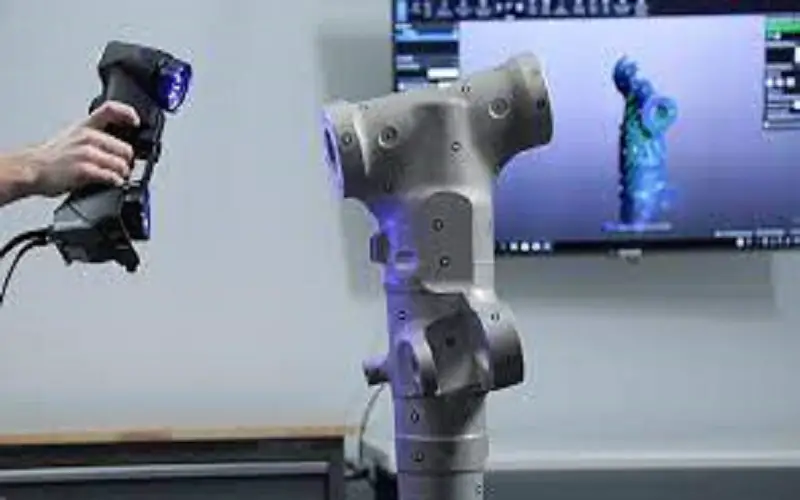
3D scanners used for digital geologic mapping and surveying. It does not require GPS. The technology utilized practically inside, outdoors, underground, or any other inaccessible location. The technique allows one to map significant regions vertically and horizontally in minutes. Another incentive to adopt 3D spatial technology for terrain mapping is designed to function ten times quicker than other conventional applications.
8. Cadastral Mapping
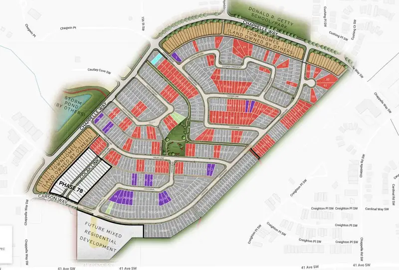
The technology is used to administrates land ownership and land usage in architectural and urban management programs. The mapping method indicates the location and boundaries of a defined terrain, as well as facts about a property. This not only helps the owner keep their property in good condition, but it also monitors other data linked to financial aspects and government control of the land. Use this technology to scan pictures, analyze inventories, and create base maps.
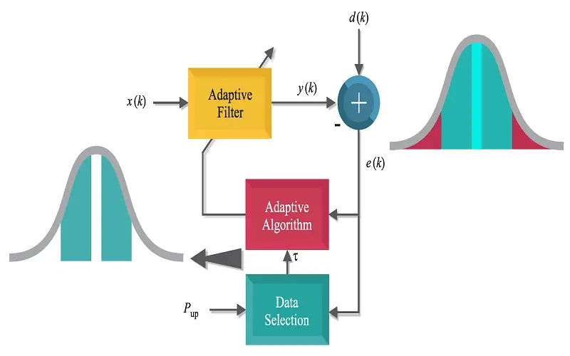
9. Data Adaptive Algorithm
The innovative technology application used in leading companies and organizations, including NASA. The program retrieves information for the local terrain and worldwide DTMs (Digital Terrain Maps). To obtain correct results, an encoding and real-time decoding procedure is needed that employs particular terrain-mapping techniques. Along with local and worldwide terrain mapping, this software may also be utilized in maritime charting systems, aerospace satellites, medicinal equipment, and scientific research.
10. Ground-based Surveying
When deciding on a ground-based surveying approach, the significant factor is to record discrete point locations or the variability of a feature across a greater region.
