Geographic information systems technology has become increasingly important in recent years as more data becomes available and spatial analysis techniques advance. Python’s versatility, large collection of open-source libraries, and readability make it an excellent choice for GIS development in my opinion. There are many great Python libraries that GIS professionals should know about to take full advantage of Python’s capabilities. Python offers many robust open-source libraries for GIS analysis and visualization. The libraries discussed here represent some of the most widely used and versatile options available based on my perspective. While the learning curve varies for each, investing time to master these libraries pays huge dividends for those utilizing Python for geospatial work. Based on my personal experience working with geospatial data, I think the following 10 libraries stand out as the most useful and widely applicable for tasks involving geographic data analysis and visualization using Python.
1. ArcPy
Developed by Esri as an extension module for their ArcGIS platform, ArcPy provides a robust way to enable Python scripting and automation within ArcGIS Pro and ArcMap desktop applications. It builds on top of the underlying ArcObjects framework to expose over 1,000 ArcGIS geoprocessing and mapping tools to Python. From my perspective, ArcPy provides a very powerful interface for users already invested in ArcGIS to accelerate geospatial workflows using Python scripting. Key features provided through ArcPy include geoprocessing functions, raster analysis, geometry operations, data conversion and translation, map automation, and much more. It enables quickly developing custom tools, scripts, and applications that leverage the advanced GIS capabilities of the ArcGIS platform.
2. GeoPandas
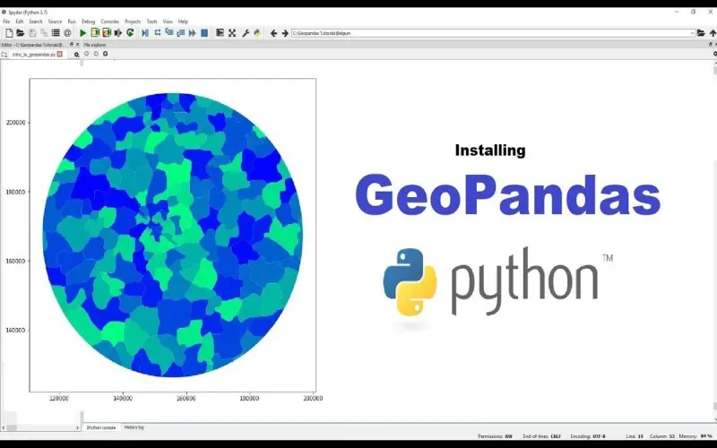
GeoPandas is an open-source library that significantly simplifies working with geospatial data in Python, in my opinion. It builds upon and extends the popular Pandas data analysis library to enable working with both tabular and spatial data using familiar Pandas DataFrame objects. GeoPandas integrates features from other key libraries like Shapely, PyProj, and Fiona to represent and manipulate geospatial data. From my experience, GeoPandas excels at tasks like performing spatial joins, creating choropleth maps, importing/exporting geospatial data, reprojecting vector data, and conducting geometric operations on shapes. The syntax and structure mirrors Pandas, making GeoPandas easy to learn for those already familiar with Pandas.
3. GDAL/OGR
GDAL (Geospatial Data Abstraction Library) and OGR (Simple Features Library) are open-source sister libraries developed by OSGeo for working with raster and vector geospatial data respectively. They provide a massive collection of functions for reading, writing, converting, analyzing, and generally working with geospatial file formats and data sources. In my opinion, GDAL and OGR enable Python developers to seamlessly interact with and translate between over 200 vector, raster, and database formats like Shapefiles, GeoJSON, GeoTIFFs, PostGIS, MapInfo, and countless others. These libraries are at the core of many open-source and even proprietary GIS tools.
4. RSGISLib
The Remote Sensing and GIS software library (RSGISLib) was originally developed at the University of Nottingham for multispectral image processing and geospatial data analysis applications. It is open source and focuses on providing efficient algorithms for common tasks and analyses conducted on satellite or aerial imagery. From my experience, RSGISLib offers a robust set of tools focused on remote sensing workflows like image correction, classification, calculating vegetation indices, and extracting image statistics. I’ve found it very useful for those working with raster geospatial data from satellite platforms or aerial surveys.
5. PyProj
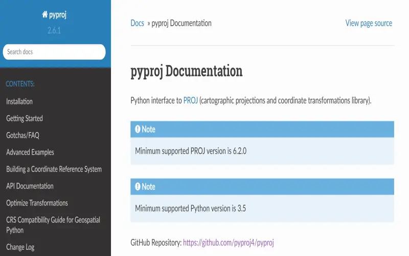
First on my list is PyProj. This library makes easy work of converting between coordinate systems and map projections. From EPSG codes to PROJ strings, PyProj speaks GIS languages fluently. I find its interface simple and intuitive too. Just specify source and destination projections and let PyProj handle the rest. Behind the scenes, calls are delegated to the powerful PROJ library for ultra-accurate transformations. PyProj supports over 2000 coordinate systems out of the box with PROJ data, covering everything from global data to national and local grids. It’s my go-to tool for coordinate reference system conversions.
6. Geemap
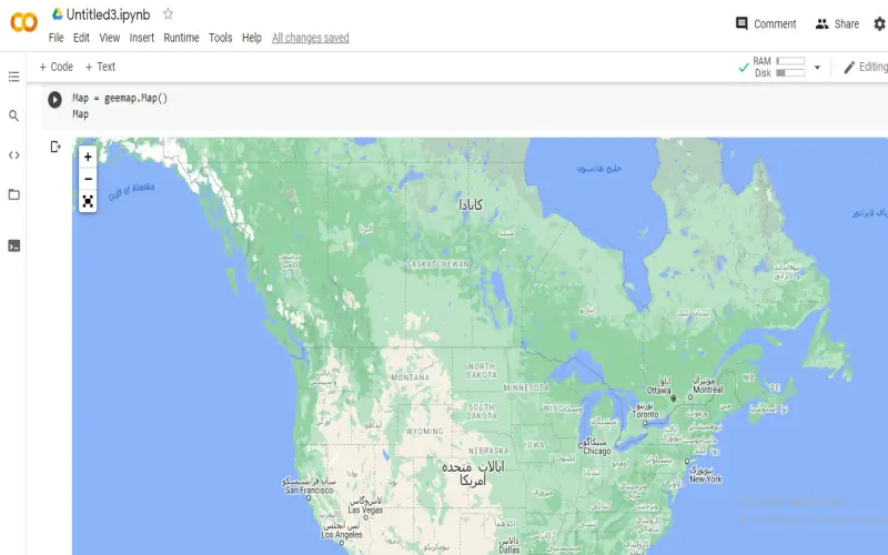
Up next is the interactive mapping library Geemap. This package leverages powerful Python data science libraries like Pandas for working with geospatial data in Python. Geemap connects to Google Earth Engine for satellite imagery analysis. The images and maps are rendered using ipyleaflet, creating web map applications directly in Jupyter notebooks. I think Geemap makes Earth Engine more accessible to Python users. Analyzing changes over time across billions of Landsat images becomes approachable with a simple Python API. Geemap abstracts away the JavaScript programming of Earth Engine, letting me focus on data analysis. Interactive widgets and built-in geospatial analysis tools take mapping workflows to the next level.
7. GeoPy
Adding geospatial capabilities to address and locate text data is a snap with GeoPy. It offers a range of geocoding, reverse geocoding, and distance calculation tools through an easy Python interface. I find that GeoPy handles ambiguous location info well, with fuzzy matching capabilities. From geographic coordinates to points of interest, landmarks, and zip codes, GeoPy interprets geographic search terms intelligently. It abstracts away the nitty-gritty details of disparate geocoding web services. GeoPy presents a unified API for location search, supporting services from OpenStreetMap to ArcGIS. For me, GeoPy makes short work of associating lat-long coordinates with real-world addresses and point-of-interest names.
8. Reverse Geocoder
For the opposite of geocoding – creating human-readable addresses from geographic coordinates – I recommend Reverse Geocoder. As the name suggests, this package converts long points into useful location information. Pass it GPS coordinates and get back address strings and place names. Under the hood, Reverse Geocoder queries OpenStreetMap data for reverse geocoding. From city and street names to postal codes, the library extracts detailed address components. For privacy when dealing with sensitive location data, Reverse Geocoder works completely offline. I’ve found it provides sufficient accuracy for most use cases without needing API keys or network access. Reverse Geocoder delivers understandable location context for coordinate pairs in Python.
9. PyCountry
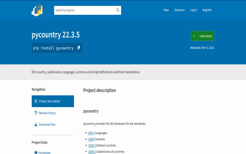
Dealing with country names, codes, currencies, languages, and other data often arises when working with regional geographic information. PyCountry provides simple access to official ISO country codes and data sets. Instead of keeping track of various country alpha or numeric codes, I can just look up country info by name using PyCountry. Need to know the official language and currency of Andorra? PyCountry has the answer without having to consult Wikipedia. Converting between country names, ISO 3166-1 alpha-2/alpha-3 codes, IOC codes, ITU call signs, and other formats is fast with PyCountry’s bidirectional lookups. For standardized country information, PyCountry delivers.
10. DataPrep
Lastly, DataPrep is an honorable mention for data cleaning and preparation. Processing real-world geographic data requires getting it into usable form. From parsing coordinates to normalizing projections, DataPrep speeds up my workflows. It makes reformatting and standardizing geographic data much less tedious, in my experience. For example, automatic parsing of numeric coordinates from columns of location text is super helpful. DataPrep cleans and prepares spatial data for analysis with tools tailor-made for geographic info. While not exclusively for GIS, DataPrep completes my Python geographic data science toolkit.
