The shipping industry benefits from studying and understanding the oceans. The information gathered from the oceans aids in the forecasting of weather and sea conditions, which is essential for ships to plan their courses and take the necessary safety precautions. Additionally, ocean observation systems aid in the understanding of issues such as ocean pollution, climatic changes, untapped resources, changes in currents, marine organism behaviour, etc.
1. High-Frequency Radars
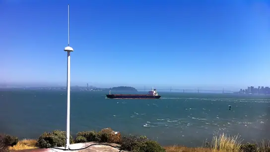
From a few to 200 kilometres offshore, HFR records the speed and direction of ocean surface currents close to the coast. It is beneficial in search and rescue operations because it makes finding objects floating on the water’s surface easier. It determines velocity and direction, the radar transmitter sends a signal into the ocean, and the conductive seawater surface responds with a signal.
2. Animal Telemetry
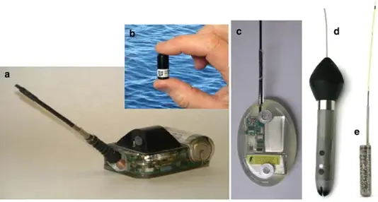
Marine animals that participate in animal telemetry wear electronic tags. Thanks to this tagging technology, we can understand how these animals interact with the ocean. Understanding the vast ocean and the problems posed by climate change and marine environmental pollution is made easier with this knowledge.
3. SeaGliders
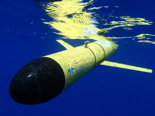
Scientists created an autonomous underwater vehicle (AUV) or underwater glider called Seaglider to measure various oceanographic parameters continuously and over an extended period. The vehicle uses slight changes in buoyancy and its wings to move forward instead of an electrically powered propeller. With the aid of movable ballast, the system’s pitch and roll are managed.
4. Buoy System
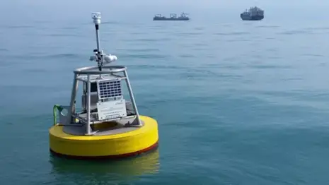
A buoy is an instrumentation platform that floats in the water and can gather data on environmental and marine conditions. The working mechanism of the surface buoy is composed of a shore station, telemetry, and buoy.
5. Underwater Hydrophone
The purpose of an underwater hydrophone is to listen to oceanic underwater noise. It is based on the thought that certain ceramics have a unique characteristic called piezoelectricity, which causes explorers to produce a small electrical current in response to pressure changes.
6. Clod Cards
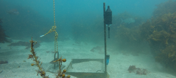
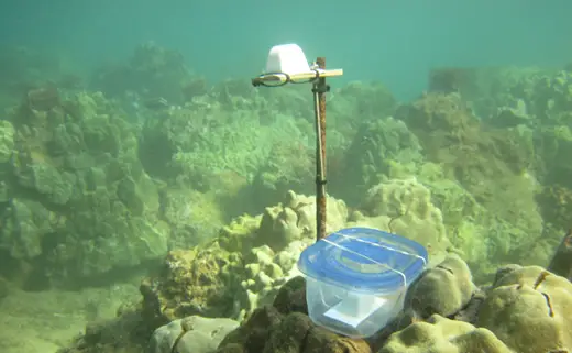
These identical trapezoids, made of plaster of Paris or alabaster and have the shape of an ice cube, are used to study underwater flow patterns. Pre-weighed clod cards are deployed at predetermined sites using a submersible, ROV, or scuba diver. These are retrieved, dried, and reweighed after a set time (typically 24–48 hours). Calculating the precise amount of plaster of Paris lost from each card is possible.
7. Drifters
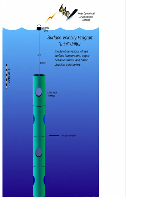
Oceanographers can use this tool to investigate the effects of the world’s ocean currents. Drifters now offer real-time ocean circulation patterns thanks to recent developments. You can launch the “shallow water” drifter from a ship or an aircraft. Once it is floated, the transmitter starts transmitting data to the satellite, which then transmits it to receiving stations where it is processed.
8. Geographic Information Systems (GIS)
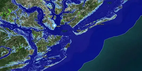
A computer system called a GIS is used to collect, store, verify, and display geographic data. A GIS can build a virtual ocean inside a computer if enough reliable information is provided. GIS provides images of underwater cliffs and thriving flora and fauna on the ocean floor at any specific location in the ocean with a mouse click.
9. SONAR
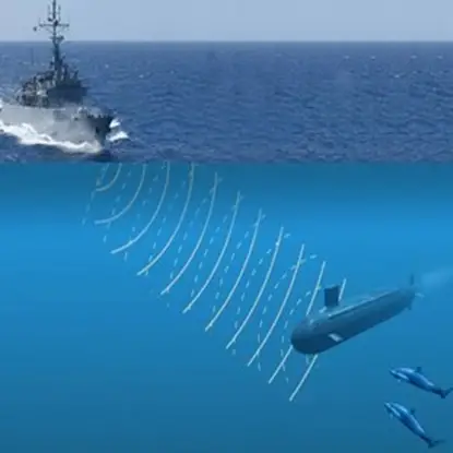
SONAR is a type of technology that uses sound waves to locate and distinguish between different objects in the water. The advantage of sound waves being less attenuated in water than electromagnetic waves. With the advent of digital computers in the 1960s, which made plotting sonar data much more straightforward, the technology, first used during World War One, has advanced significantly.
10. Satellite Oceanography
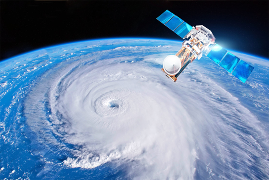
A satellite’s ability to establish communication between the ocean and land is undoubtedly its most significant function, but it also plays a crucial role in ocean observation. Images of sea surface temperature are produced by environmental satellites, and this information helps determine water circulation patterns.
