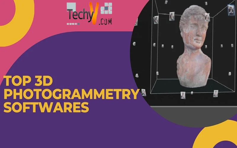
Photogrammetry is a process by which digital image of an object, person, or a landscape is developed. It helps in effortlessly creating a 3D image of an existing object. Photogrammetry software is also useful in creating 3D models of landscapes and building sites. With the help of apps like Kiri Engine, you can scan objects in 3D using your smartphone’s camera.
The software allows users to self-scan with their phone’s camera for online shopping and logging into games as their preferred characters. With photogrammetry, you can easily create a 3D model of any object captured from your mobile or any other device’s camera. By identifying shared points between the images, the software calculates the distance between the images to identify a point cloud which is later converted into a 3D mesh. Photogrammetry software works efficiently with large-size image files.
The software extracts geometric details of a 2D image. By combining multiple aerial photos, it helps in creating a 3D version of an image. Different images of a particular object picturized from various angles are combined to obtain a comprehensive view of that object. For example, Google Earth use photogrammetry software to combine several aerial photos and the topographic information to develop realistic 3D visuals of significant cities.
Architects and engineers mostly rely on photogrammetry software to generate point clouds, topographic maps, and architecture. It is also used in military and land survey departments.
With photogrammetry software, archaeologists can conduct surveys and researches in remote areas conveniently. You can also use the software without a 3D scanner. The software is compatible with smartphones, tablets, and cameras.
Photogrammetry software is helpful in various applications such as architecture, mapping, investigation, and geology. Photogrammetry software is created with C++, Python, and MATLAB programming language. In this article, we will talk about the top 10 photogrammetry software. Let’s begin.
1. AliceVision
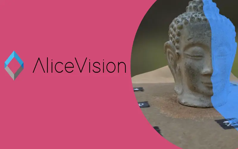
AliceVision is a free and open-source photogrammetry software. The 3D reconstruction software enables you to run the whole photogrammetric workflow from beginning to end. You can upload your photographs in the software, it will automatically generate 3D models and textured images of the original copy. The software is best for beginners.
2. Agisoft Metashape
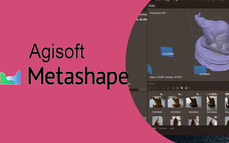
Agisoft Metashape is a standalone application that offers capabilities such as photogrammetric triangulation, point cloud data, 3D model production, and textures. The software offers a range of applications including creation of visual effects, cultural heritage documentation, and more. Formerly known as Agisoft Photoscan, it is the most popular photogrammetry software. The software is best for beginners and professionals.
3. MicMac
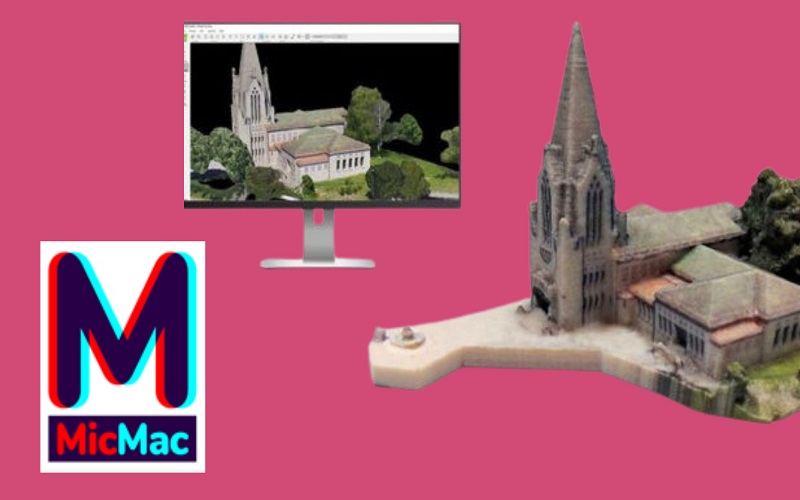
Developed by Imagine Games Network and ENSG(French national school of Geographic Sciences), MicMac is an open-source photogrammetry software suitable for academic users. The software offers support in executing projects such as environment protection and preservation, cultural heritage imaging, and others. MicMac can effortlessly handle different types of image data, ranging from close-up shots to aerial images. The software provides 2D dense image matching for conducting deformation studies and various kinds of models suitable for regular cameras, large-frame aerial cameras, fish eye, and spherical cameras.
4. Visual SFM
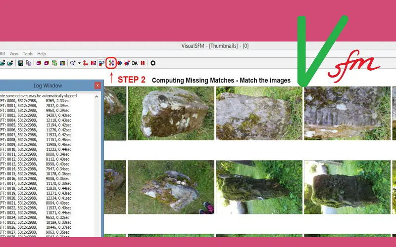
Visual SFM utilizes the structure-from-motion approach to develop a 3D image of an object. It is straightforward to use. You have to upload your picture in the software, it will automatically reconstruct the 3D version of the original image. With unmatchable speed, the GUI application utilizes the processing power of multiple processor cores to perform feature detection, matching, and bundle adjustments. The software offers two project research samples, namely Schematic Surface Reconstruction and Single View Repetition Analysis.
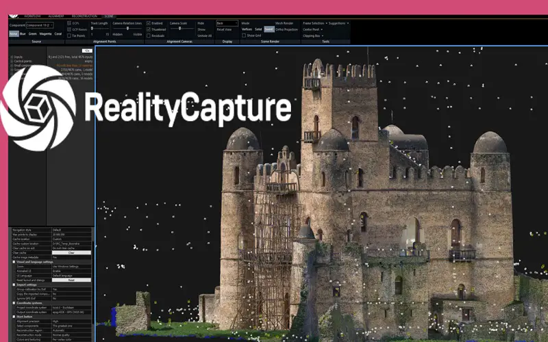
5. Reality Capture
Reality Capture is a user-friendly photogrammetry software that offers a complete solution for photogrammetry. The latest version of the software has a comparatively faster operating speed and enhanced quality. The software can easily calculate meshes and textures and work effortlessly with different file formats. With the image and laser scans, you can conduct geo-referencing, designing of realistic scenes, and orthographic projections efficiently.
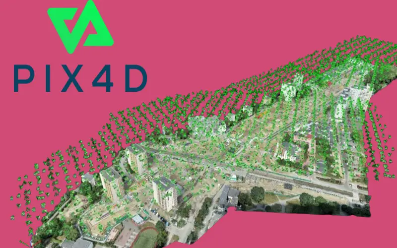
6. Pix4Dmapper
Pix4Dmapper is a drone-based mapping software that transforms your images into precise geo-referenced 2D maps and 3D models. It is suitable for both close-range and aerial photos. The software’s photogrammetry algorithms convert your aerial images into digital maps and 3D models. Pix4Dmapper consists of default templates that enables automatic processing of projects. It also allows you to create templates with customized settings to ensure complete control over the project.
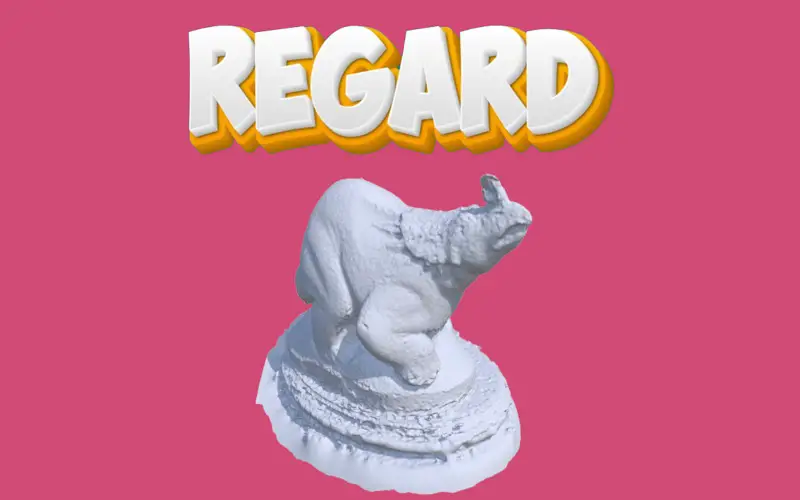
7. Regard3D
Regard3D is an open-source 3D regeneration software that offers a variety of photogrammetry features. It provides tutorials for beginners to help them thoroughly understand each step of the process. The photogrammetry software is compatible with platforms like Windows, Linux, and other operating systems. It combines multiple images captured from different angles to create a good-quality 3D model. Regard3D is helpful in simple 3D modeling tasks.
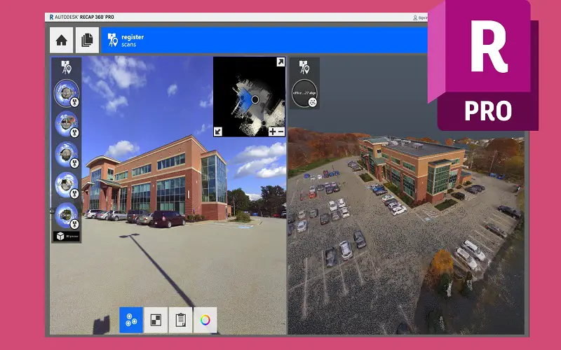
8. Autodesk ReCap Pro
Autodesk ReCap Pro is the most prominent software in the photogrammetry market. With the help of software, you can generate 3D and BIM models for various industries. You can also create intelligent models, geo-located textured meshes, point clouds, and orthophotos. It offers a variety of applications for industries such as construction, engineering, and architecture. Autodesk ReCap Pro works with photo and laser scans and supports digital cameras and drones.
9. 3DF Zephyr
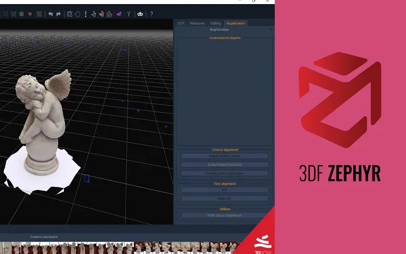
The 3DF Zephyr is a professional photogrammetry software built with a user-friendly interface. The software offers step-by-step guidance for generating 3D scans and a range of extensive exporting options. Zephyr software aligns photogrammetry data with laser scans to retain texture maps and enhance the precision of your 3D models. It allows you to design the shapes using imagery references. The platform provides users access to GIS and survey tools in the advance version.
10. Correlator 3D
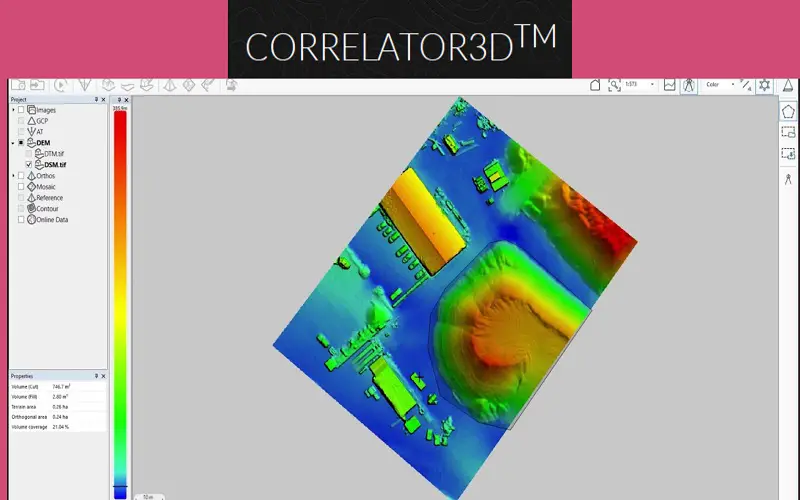
Correlator 3D is a comprehensive photogrammetry software developed by Simactive. It can handle aerial images and data from satellites, drones, and aircraft. With its powerful automation tool, the software quickly transforms a Digital Surface Model into a Digital Terrain Model. Using the software, you can develop orthomosaics and 3D models. It allows users to analyze and extract data from different spectral bands. Correlator 3D can process multispectral and hyperspectral imageries efficiently. The software is used extensively by private companies and government organizations.
