Is Google including cars, building and trees on their Improved 3D Maps? When is the full implementation of this?
Google Steet View Trekker and Improved 3D Maps announced

The Google's cars have already driven more than 5 million miles and collected 20 petabytes of imagery data, so they need some improvements to make Google Maps a the best 3D world application. To model our world in 3D, Google will now use 45 degree aerial images gathered from their plane. Even if they don't want to say that this technology will be available soon, they made this announcement to preempt Apple's announcements.
Good Rebecca Moore, the engineering manager announced that the 3D maps will be firstly used during humanitarian operations by non-profits. When this technology will be implemented, I think it will be the best investment of Google, because their rivals, Apple, will have to come with something really good to beat them.
Google Steet View Trekker and Improved 3D Maps announced

Google Maps 3D is already available in mobile version for the Android-powered Smartphones. To use it on your handset, you need to install Google Maps 6.0. To download it from Google Play, just visit Google Play and then search “Google Maps” or simply visit “m.google.com/maps” using your Smartphone’s browser. I already tried it on the computer using the Google Maps 3D Buildings and it’s great because I was able to see the roof of our house.
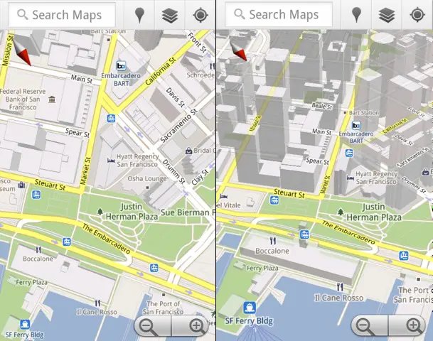
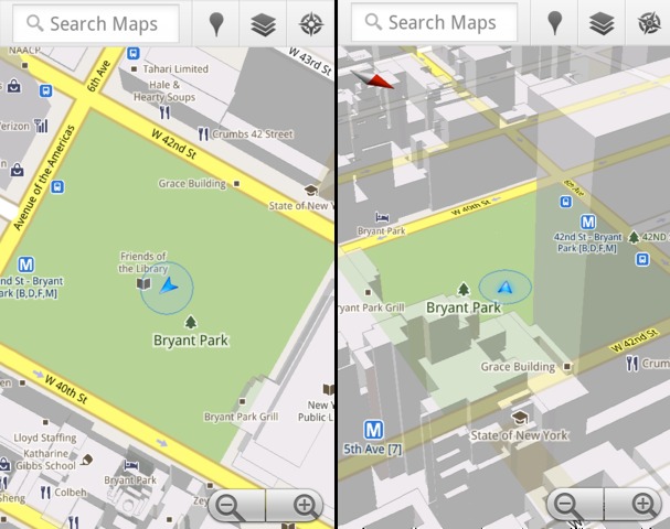
The mobile version features tilt, compass mode, offline reliability, rotate, smooth zooming, and offline rerouting. The “tilt” feature allows you to tilt and zoom in on one of more than 100 cities around the world by dragging it down using two fingers. The “compass mode” will help you go around the map by making it like a compass. You just need to adjust yourself on the map, center on your location, and then enabling it by tapping on the compass button. The map rotates and flips into 3D whichever direction you are facing.
Screenshots of Google Maps 3D, first is the “Tilt” and the last one is the “Compass mode”.


